 Skip to main content
More than a highway widening
Overview
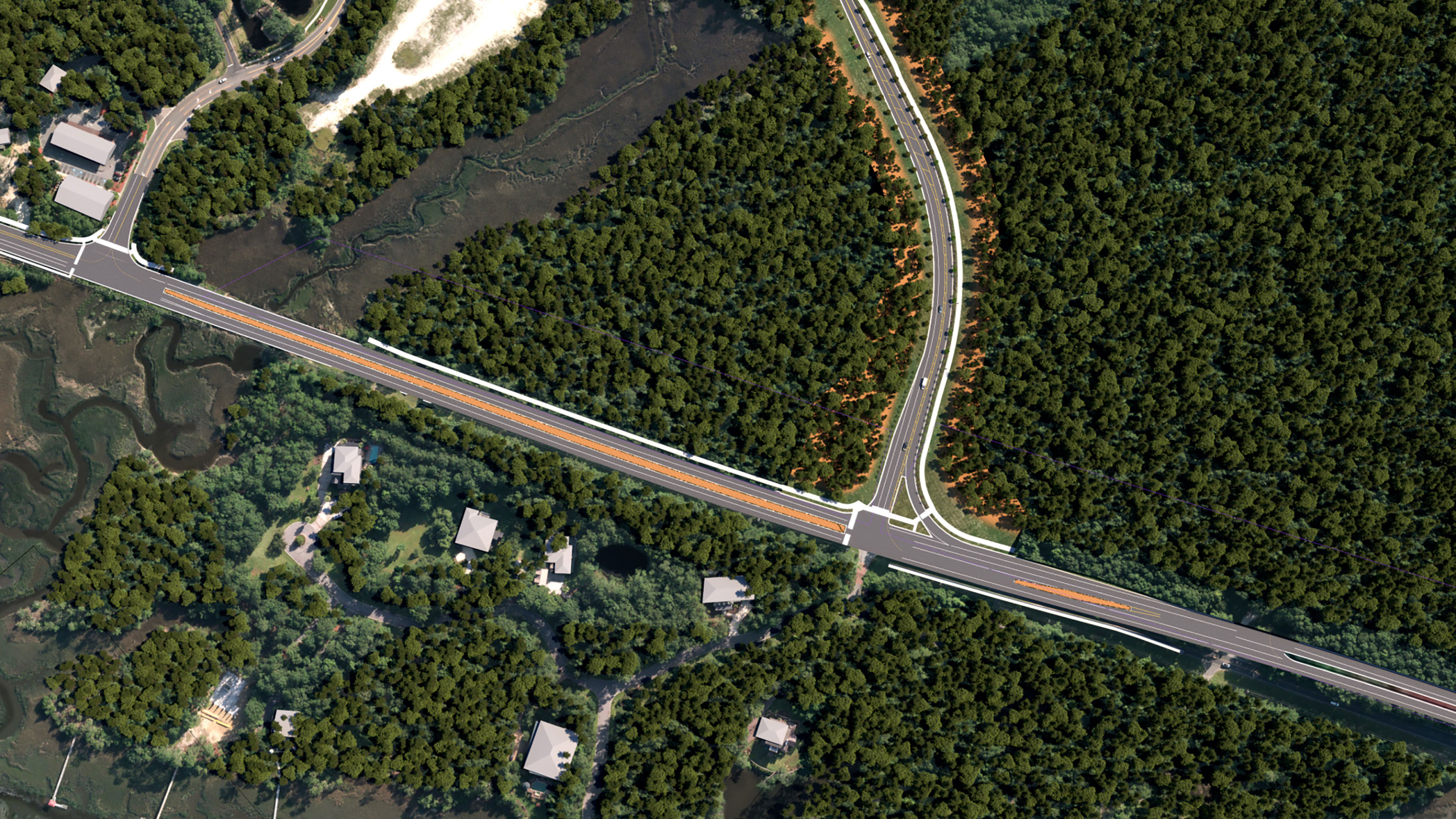
The Highway 41 Corridor Improvements project will address future traffic congestion, enhance road safety and connectivity, and improve multiple major intersections along this corridor.
- Reduce congestion within the 41 corridor
- Enhance safety throughout the corridor
- Improve the transportation system and community connections
- Accommodate future traffic projections
- Provide connected bicycle and pedestrian accommodations
- Minimize community and environmental impacts


Features
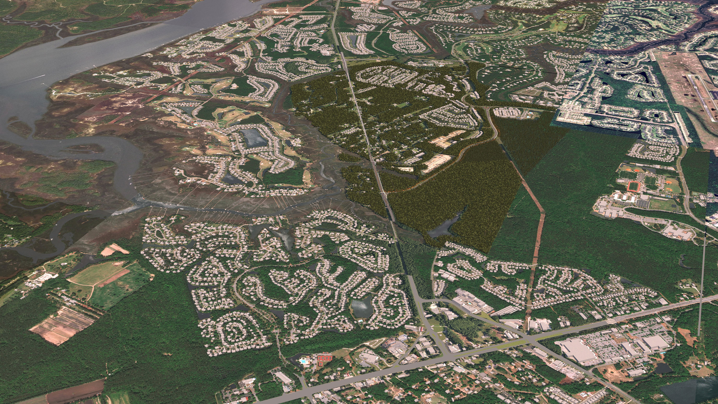
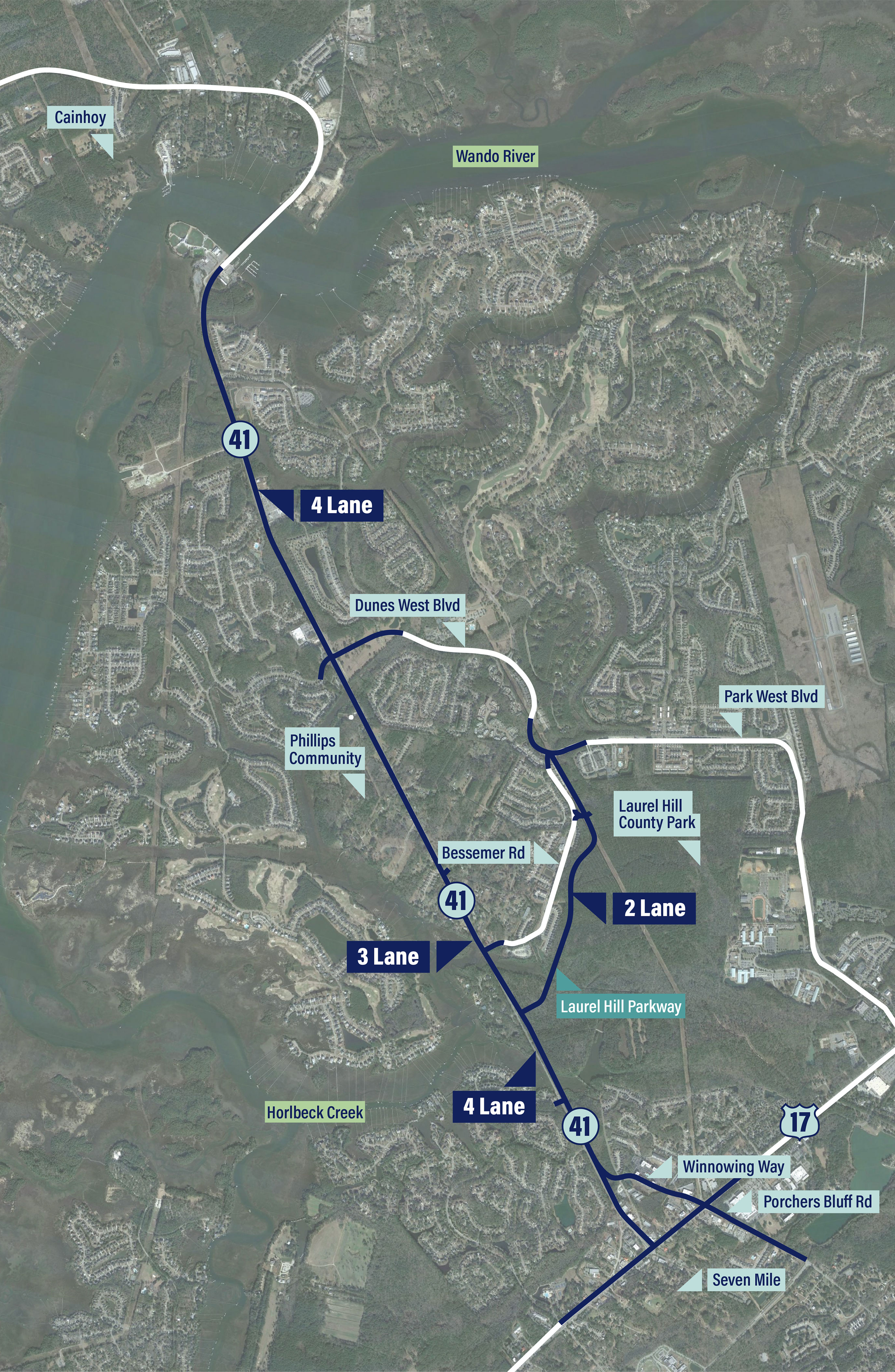
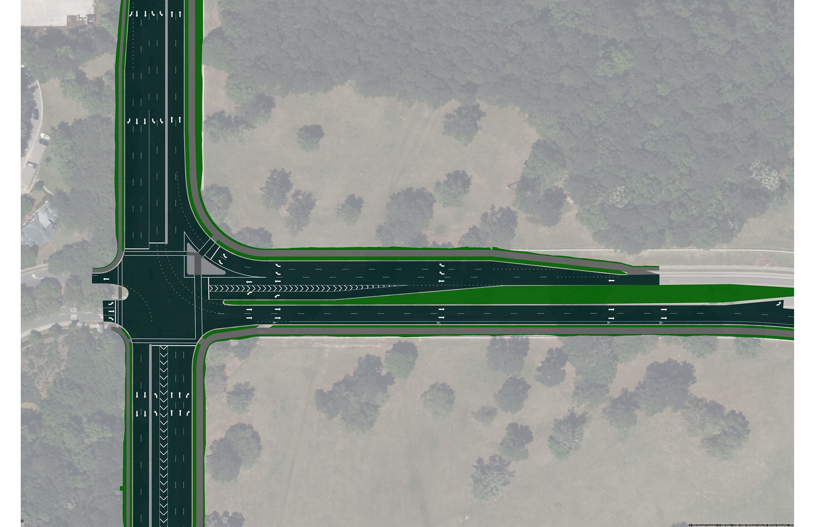
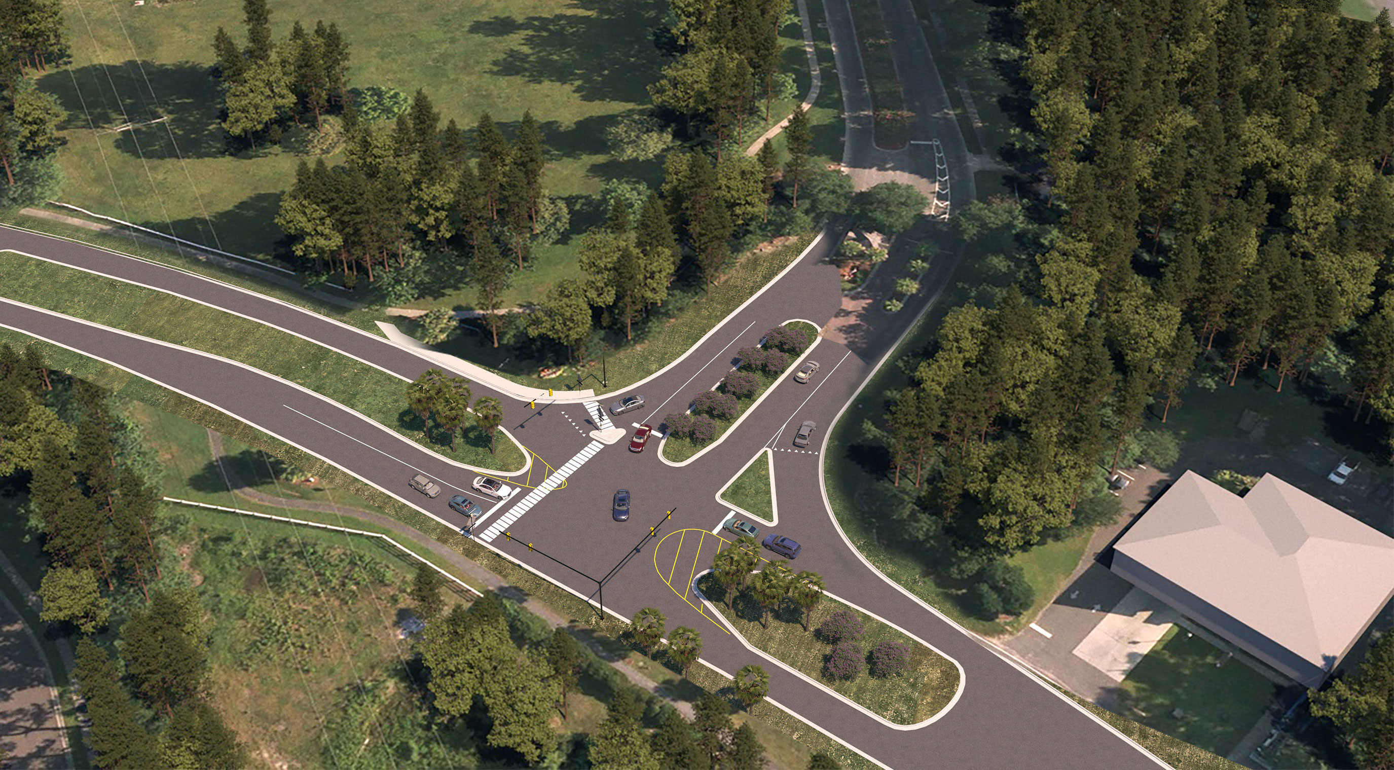
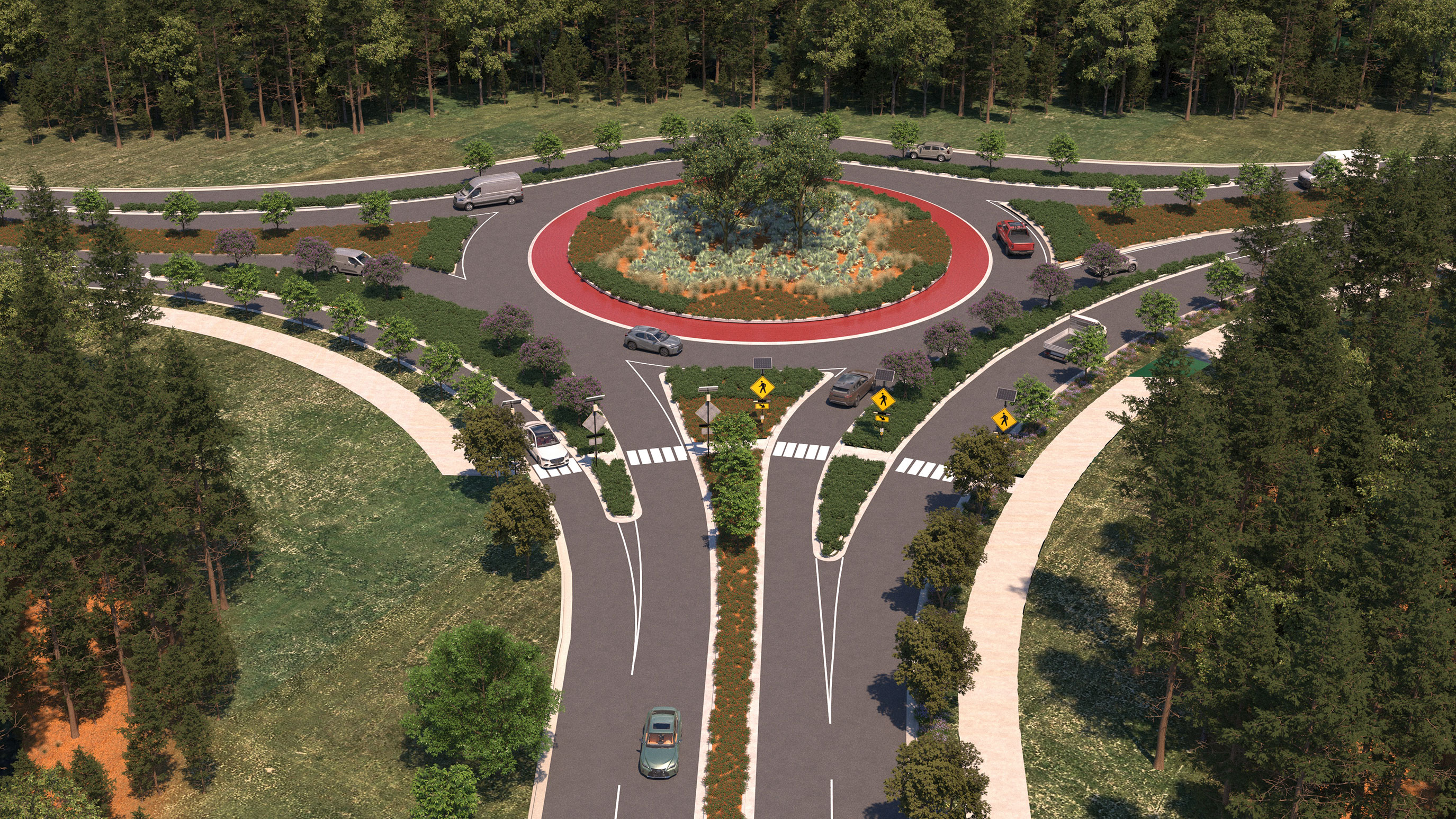
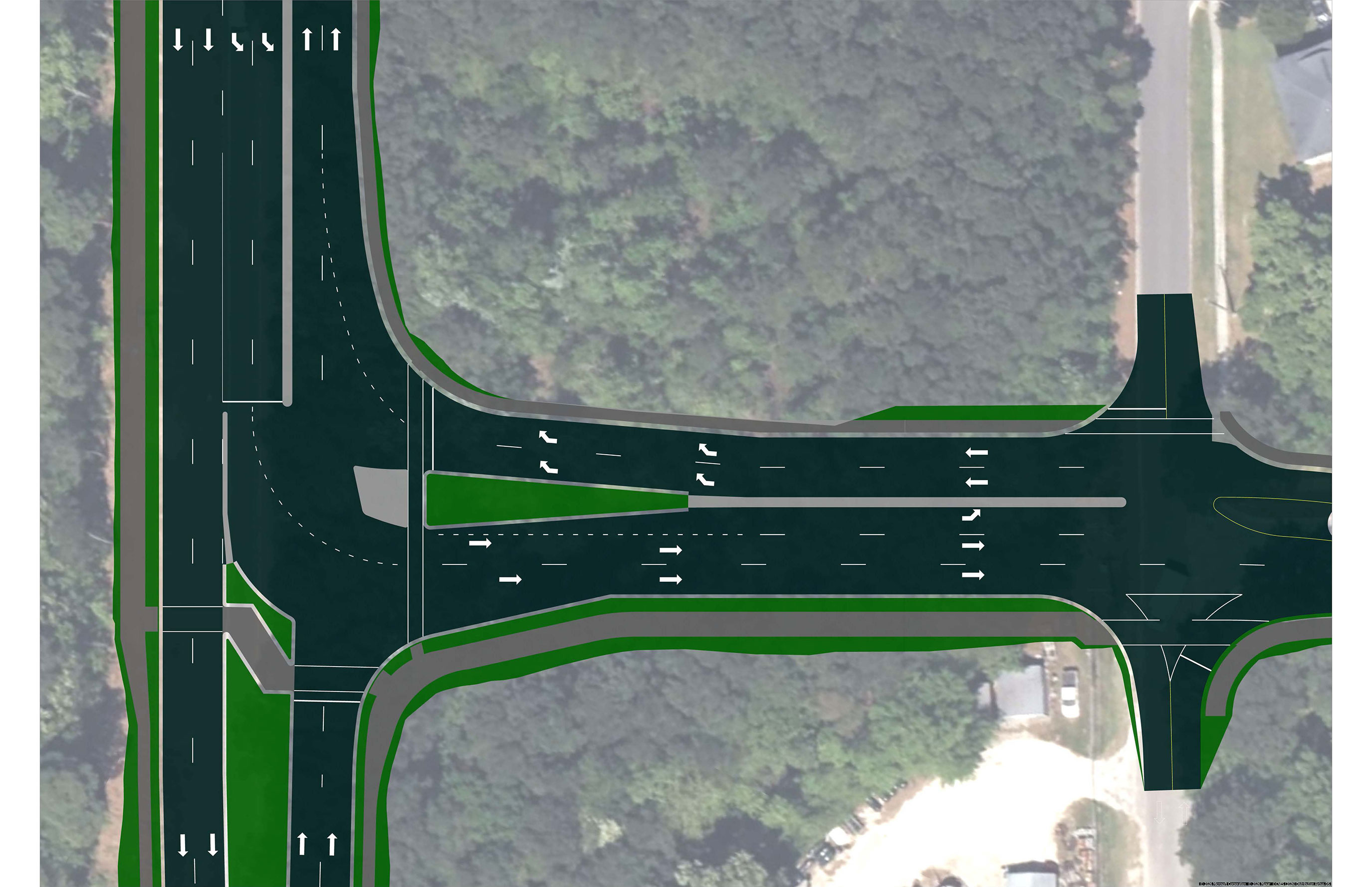
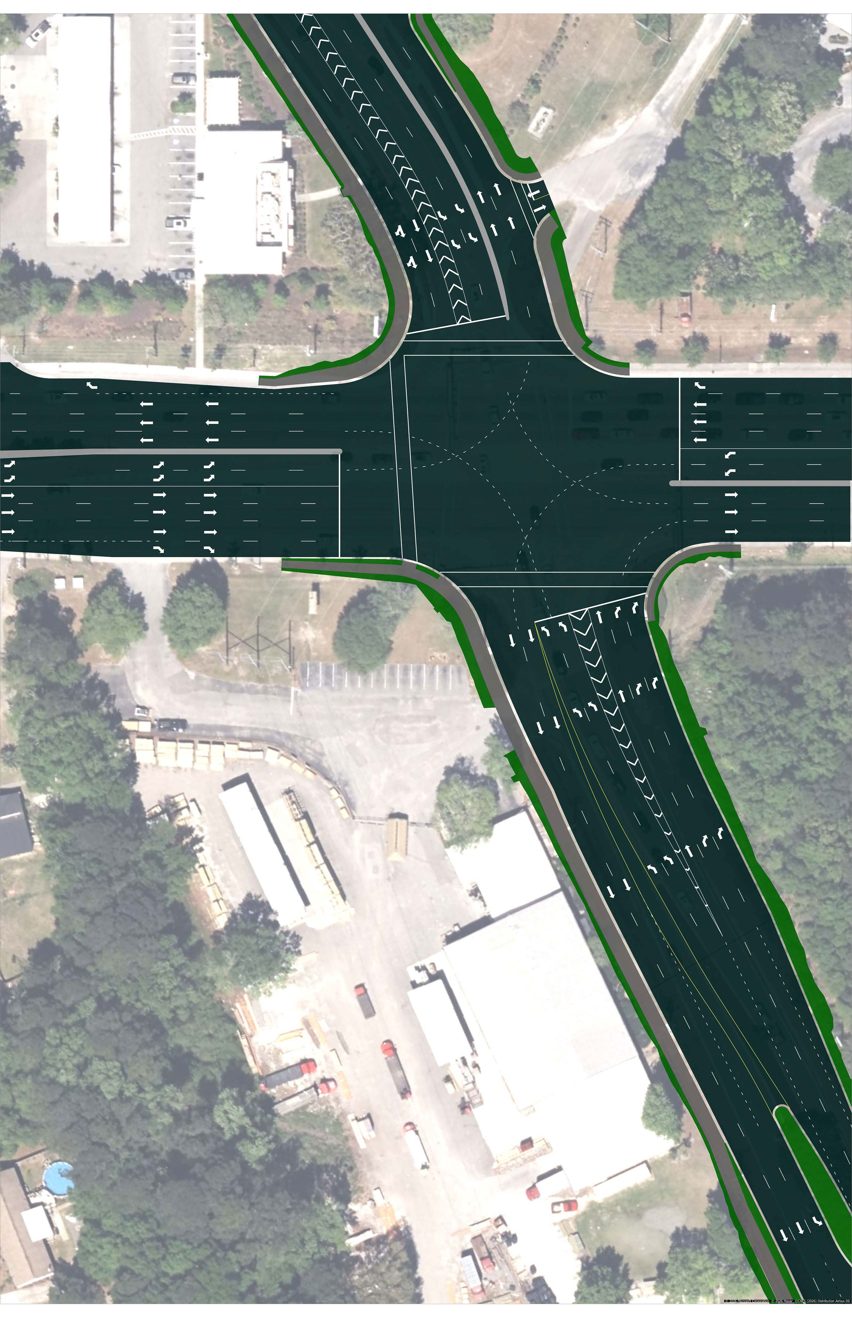
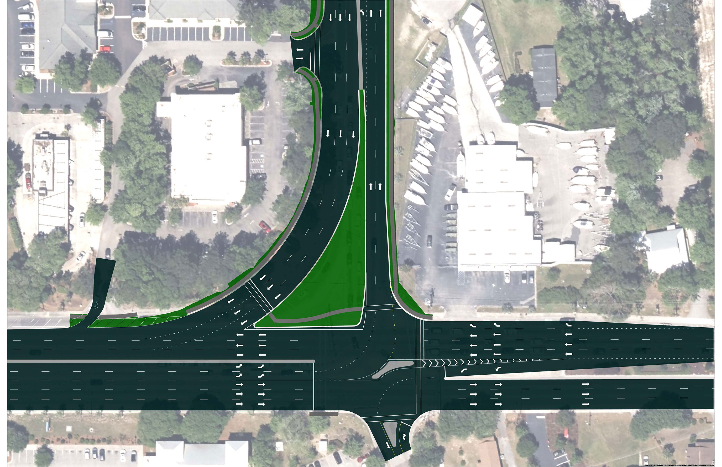
The project will include roadway widening, intersection improvements, and the Laurel Hill Parkway, a new local connection road for nearby communities.
Explore these improvements by clicking the tabs below.
Widen Highway 41 to a 4-3-4 configuration, including:
- Two travel lanes in each direction from the Wando River Bridge to Dunes West Boulevard/Rivertowne Parkway
- One lane in each direction with a center turn lane/median through the Phillips Community
- Two travel lanes in each direction from south of Joe Rouse Road to Highway 17
View a detailed map of the project design.
Benefits
The Highway 41 Corridor Improvements project is more than a highway widening — it’s an opportunity to provide a future where Mt. Pleasant residents and commuters can safely and efficiently access the resources they need, the amenities they enjoy, and the people they love for years to come.
Benefits of the project design include:
- Minimization of impacts to the Phillips Community
- Elimination of property impacts to Seven Mile at the 41/17 connections
- Avoids and minimizes wetland impacts wherever possible
- Additional lanes on Highway 41 to ease congestion
- Addition of the Laurel Hill Parkway, which will also benefit first responders to access incidents and provide evacuation routes
- High visibility bike and pedestrian accommodations at intersections
- Multi-use path and community-focused speed limit on Laurel Hill Parkway
- Designs that incorporate flood prevention and water quality standards, including diversion of stormwater away from communities
- Continued coordination with Charleston County Parks and Recreation for future accommodations in Laurel Hill County Park
- Designs that reduce congestion and accommodate future traffic projections for the next 20 years